Do you want
to save money
on a PV inspection?
We bring a revolutionary solution for monitoring and optimizing photovoltaic power plants, combining cutting-edge technology with human creativity. This is a comprehensive service that merges our expertise, top-tier industrial drones, and modern AI systems — a service that currently has no equal on the market.


Savings Calculator
Results:
Analysis Price:
0 Kč
Estimated Annual Financial Loss:
0 Kč
* The prices are excluding VAT
How much
can I save?
Calculate in just a few seconds how much you're likely losing due to faults you don't even know about yet.
Enter a few basic details and instantly see an estimate of potential performance losses and how much it would cost to analyze them. Do you have your own drone? Then our solution is even more affordable for you.
What do you need for that?
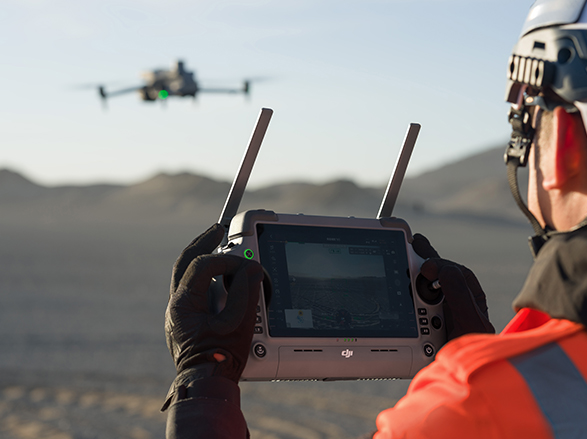
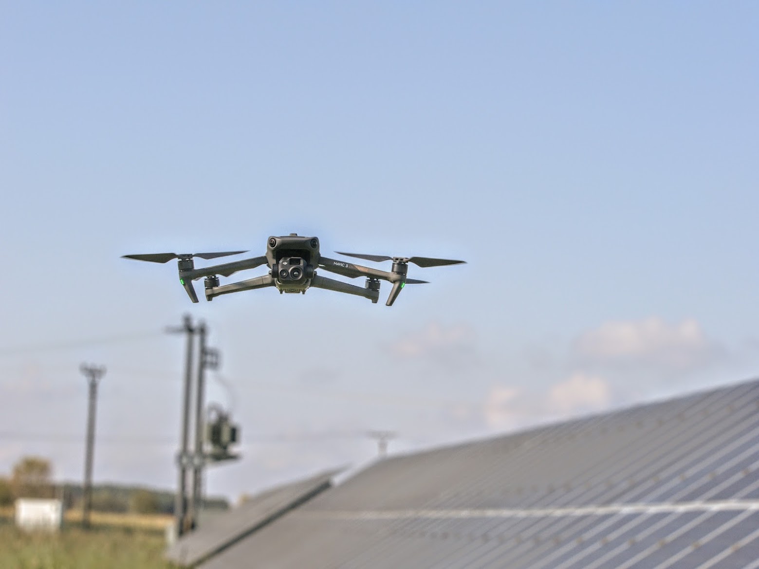
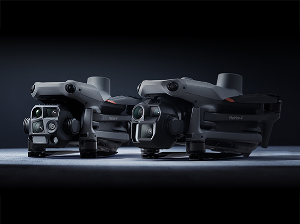
To collect data yourself, you’ll need a drone equipped with both a thermal and a visual (RGB) camera. Ideal models include DJI Enterprise drones such as the Mavic 3T, Matrice 30T, or M210. The drone should support autonomous flight, GPS localization, and image stabilization. Our software can process data from most commonly available drones, provided they meet the technical requirements: high-quality thermal and RGB images, accompanied by metadata including timestamp, GPS location (IEC TS 62446-3 standard), and flight condition details. If you need help with setup or choosing the right equipment, we’ll be happy to assist.
What do you get from us?
The result is a professional inspection report that complies with industry standards and the IEC norm. The report includes a list of all detected anomalies, their severity classification, temperature differences, GPS coordinates of each issue, and recommended repair actions. It also features an interactive map with marked defects and reference images, which can be easily used for further maintenance planning or communication with your insurance provider. The report is clear, well-structured, and suitable for both technical staff and operations managers.
Flight conditions
To ensure the highest possible data accuracy, we recommend the following conditions:
- A sunny day with solar irradiance of at least 600 W/m²
- At least 2 hours after sunrise and 2 hours before sunset
- The PV plant must be switched on and operating at full capacity
- Wind speed up to 28 km/h (17 mph)
- Minimal cloud cover (maximum 2/8)
Note: We can also work with less-than-ideal conditions — accuracy may just be slightly reduced.
How to fly correctly?
Our software is very smart – but it all starts with quality data. Stick to the following parameters:
- Resolution: IR image at 3 (±0.5) cm/pixel
- Image overlap: 70% longitudinally, 20% laterally
- Camera angle: Always perpendicular to the panels. If the drone or sunlight reflects off the panels and appears in the images, you may adjust the angle by up to ±20°
- Flight speed: Max. 3 m/s
- Coverage: Ensure consistent coverage of the entire PV plant
If you’re unsure how to plan the flight correctly, check our FAQ for a complete step-by-step guide. Still need help? Feel free to contact us — we’re happy to assist or provide training.
How to send us your data?
Once you have captured all the necessary images, contact us and we’ll send you a unique link to upload your data via our web interface. If the data was not collected in a single flight mission, please make sure to store all images in one folder. Then, check that the images meet all requirements — specifically, that each set includes both an IR and an RGB (Wide) image, as well as orthophoto images and photos documenting solar irradiance measurements. Upload the data in the original formats provided by your drone (depending on the camera type). Do not rename any files or modify any metadata. Once the upload is complete, leave us a message — the rest will happen automatically. Our software will analyze the data, detect any anomalies, and generate a report — typically within 2 weeks of receiving the files.
Need a drone?
We offer rentals.
You don’t have to invest in expensive equipment right away. We offer rental of drones specifically designed for PV inspections. Just get in touch — we’ll recommend a suitable model and provide the drone along with a short training session. If you later choose to process multiple inspections using our system, we’ll refund your rental costs. This option is ideal for technicians, service providers, or facility managers overseeing multiple PV plants who want to streamline large-scale inspections.
Need a course
or training?
No problem.
You don’t need to be a professional pilot or technician to collect data for analysis. We offer hands-on training for operating drones, planning flights, and capturing the right images. Everything can be done easily through a web interface — no software installation required. In addition, you may be eligible for subsidized training programs through the Labour Office, covering up to 82% of the course costs. Whether you’re just starting out with drones or simply want to make sure your data collection is accurate, we’ll make sure you’re fully prepared.